
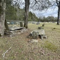
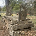
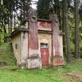
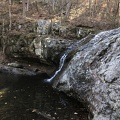
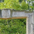
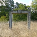
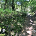
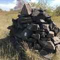
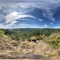
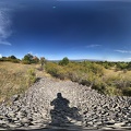
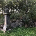
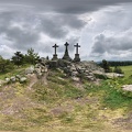
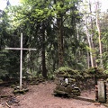
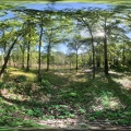
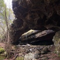
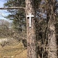
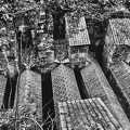
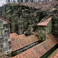
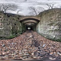
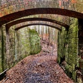
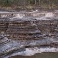
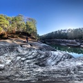
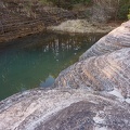
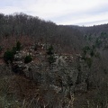
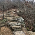
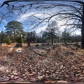
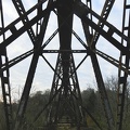
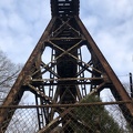
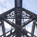
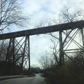
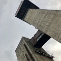
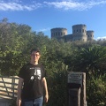
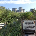
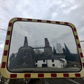
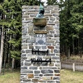
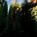
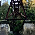
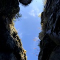
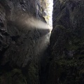
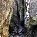
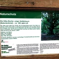
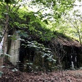
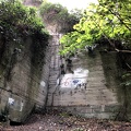
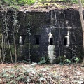
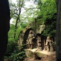
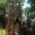
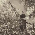
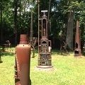
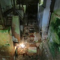
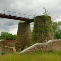
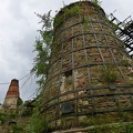
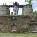
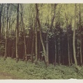
The so-called devil's bridges in the Zeisigwald were built in the 1880s to secure access to the porphyry quarries via the ravine in front of the adjacent heaps.


Information
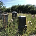
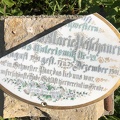
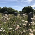
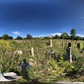
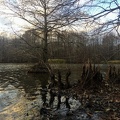
Location : 50.852900, 12.962200
- Author
- Marcus O. Bst
- Rating score
- no rate
- Rate this photo
- Created on
- Sunday 20 February 2022
- Posted on
- Sunday 20 February 2022
- Visits
- 3279
- Albums
- Unsorted
EXIF Metadata
Apple iPhone10,4 - 15.3
- Make
- Apple
- Model
- iPhone10,4 - 15.3
- DateTimeOriginal
- 2022:02:20 11:06:43
Powered by Piwigo